From Sensor to Command Center: End-to-End Flood Data Flow Using Raspberry Pi SIM HAT-Powered Gateways Leave a comment
We deliver a comprehensive, end-to-end flood monitoring data architecture that transforms raw environmental signals into actionable intelligence at a centralized command center. By combining advanced flood sensors, Raspberry Pi edge computing, SIM HAT-based cellular connectivity, and real-time command center analytics, we establish a high-availability, low-latency, and disaster-resilient flood data flow system.
This architecture is purpose-built for urban flood control, river basin monitoring, dam safety, coastal flood management, and emergency response operations, ensuring uninterrupted data flow even during extreme environmental conditions.
1. Flood Sensor Layer: Accurate and Continuous Data Collection
1.1 Purpose of the Sensor Layer
The sensor layer serves as the foundation of the flood monitoring ecosystem, responsible for capturing real-world environmental conditions with precision and consistency. Accurate sensing ensures downstream analytics and alerts remain reliable.
1.2 Types of Flood Sensors Used
- Ultrasonic Water Level Sensors: Measure distance between the sensor and water surface using sound waves, ideal for non-contact applications in rivers and canals.
- Submersible Pressure Sensors: Detect water depth based on hydrostatic pressure, suitable for submerged installations in wells and reservoirs.
- Rainfall Sensors and Tipping Bucket Rain Gauges: Track precipitation intensity and duration to correlate rainfall patterns with flood risk.
- Flow Velocity Sensors: Monitor water speed to assess river behavior and predict overflow scenarios.
- Soil Moisture Sensors: Identify saturation levels in flood- and landslide-prone zones.
1.3 Data Characteristics at the Sensor Level
- High-frequency measurements
- Time-stamped readings
- Environmental noise filtering
- Continuous data streams during monsoon or storm conditions
2. Data Aggregation at the Edge: Raspberry Pi as the Gateway Core
Edge-based data aggregation is a critical requirement in flood monitoring systems, where large volumes of sensor data must be processed reliably and in real time. The Raspberry Pi serves as a compact yet powerful gateway core, enabling on-site data collection, processing, and communication before information is transmitted to centralized platforms.
2.1 Role of Raspberry Pi in Flood Monitoring
The Raspberry Pi serves as a reliable edge computing gateway in flood monitoring systems. It collects data from multiple field sensors and aggregates it into a single, structured data stream. By processing information locally, the Raspberry Pi ensures faster response times, continued operation during network outages, and efficient communication with cloud or control systems.
2.2 Hardware Interfaces and Sensor Connectivity
The Raspberry Pi supports a wide range of hardware interfaces, making it suitable for multi-sensor flood monitoring deployments:
- GPIO pins for digital sensors such as level switches and alarm inputs
- I2C and SPI buses for high-precision sensors like pressure, flow, and environmental modules
- USB and serial ports for industrial-grade sensors and external data loggers
- RS-485 and Modbus integration via adapters for long-distance, noise-resistant sensor communication
These interfaces allow seamless integration of both modern and legacy sensors.
2.3 Edge Data Processing Capabilities
At the edge, the Raspberry Pi performs essential data processing tasks, including sensor data validation, noise reduction, and data normalization across sensor types. It synchronizes timestamps using network or GPS clocks and supports local threshold-based computations to detect critical flood conditions instantly. This edge processing reduces bandwidth usage while ensuring timely and reliable flood alerts.
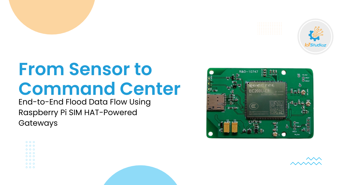
3. SIM HAT Integration: Enabling Autonomous Cellular Connectivity
3.1 Purpose of SIM HAT in Flood Gateways
A SIM HAT enables the Raspberry Pi to operate with independent cellular connectivity, eliminating reliance on wired or local internet infrastructure. This is critical in flood-prone areas where terrestrial networks often fail, ensuring continuous data transmission from remote monitoring stations.
3.2 Cellular Network Support
SIM HATs support multiple cellular technologies to match deployment conditions:
- 2G for legacy systems and ultra-remote locations
- 4G LTE for high-speed, high-volume data transmission
- LTE CAT-1 for reliable, cost-effective IoT connectivity
- Multi-operator SIM support to improve redundancy and network availability
This flexibility allows gateways to remain connected across diverse geographic regions.
3.3 Key Advantages of SIM HAT–Powered Gateways
SIM HAT–enabled gateways provide always-on connectivity even in disaster zones. They allow rapid, cable-free deployment, maintain stable uplinks during power or network outages, and support low-power operation for solar-powered installations. Secure APN access and SIM-based authentication further enhance communication security.
4. Secure Data Transmission over Mobile Networks
4.1 Communication Protocols Used
Flood monitoring gateways use multiple protocols based on data requirements:
- MQTT for lightweight, event-driven sensor updates
- HTTPS for secure REST-based data exchange
- TCP/IP for persistent and reliable communication sessions
4.2 Data Security and Encryption
To protect sensitive monitoring data, gateways implement TLS encryption for data in transit, VPN tunnels for private network access, strong device authentication mechanisms, and role-based access control at the server level.
4.3 Network Optimization Techniques
Advanced network optimization ensures reliable operation under unstable conditions. Techniques include adaptive data rates based on signal quality, packet prioritization for emergency alerts, and store-and-forward buffering during temporary network outages. Together, these measures ensure data integrity and availability even during severe flood events.
5. Centralized Command Center: Real-Time Flood Intelligence Hub
5.1 Role of the Command Center
The centralized command center functions as the core intelligence hub of the flood monitoring system. It continuously receives and aggregates data from hundreds or even thousands of distributed gateways deployed across rivers, dams, and urban drainage systems. This centralized view enables coordinated monitoring and rapid response during flood events.
5.2 Data Visualization and Dashboards
Advanced dashboards transform raw sensor data into intuitive visual insights, including:
- Live water level graphs for real-time monitoring
- Rainfall intensity heatmaps to identify high-risk zones
- Flow velocity trend charts to track changing conditions
- GIS-based flood zone maps for spatial awareness and impact analysis
These visual tools allow operators to quickly assess the situation at a glance.
5.3 Analytics and Decision Support
The command center applies analytics to support informed decision-making. Real-time anomaly detection highlights abnormal patterns, while historical data comparisons reveal trends and seasonal behaviors. Predictive flood models and scenario-based risk assessments help authorities anticipate events and plan proactive mitigation strategies. As a result, decision-makers gain instant situational awareness and actionable insights.
6. Automated Alerts and Emergency Response Integration
6.1 Alert Trigger Mechanisms
Automated alerts are generated using intelligent trigger mechanisms such as threshold-based water level breaches, rapid rise detection algorithms, and rainfall-to-runoff correlation analysis. These triggers ensure early identification of potentially dangerous flood conditions.
6.2 Alert Delivery Channels
Once triggered, alerts are delivered through multiple channels to ensure timely reach:
- SMS notifications to government authorities
- Email alerts for operational and field teams
- Mobile app push notifications for instant awareness
- API-based integration with disaster management and control systems
6.3 Emergency Action Enablement
The alerting system directly supports emergency response actions, including early evacuation warnings, automated activation of warning sirens, and real-time coordination with emergency services. This integration enables faster, more effective response and minimizes risk to life and infrastructure.
7. Reliability, Redundancy, and System Resilience
7.1 Power Backup and Energy Management
Flood monitoring systems must operate continuously, even during power failures. Solar panels with battery storage ensure uninterrupted operation in remote locations. Low-power sleep modes and intelligent power budgeting optimize energy usage, extending system uptime during prolonged adverse conditions.
7.2 Network and System Redundancy
Reliability is strengthened through multi-SIM failover, allowing automatic switching between operators if a network fails. Local data buffering prevents data loss during connectivity disruptions, while automatic reconnection logic restores communication once the network is available. Remote firmware updates ensure systems remain secure and up to date without on-site intervention.
7.3 Environmental Hardening
Gateways are designed for harsh environments using waterproof enclosures, industrial-grade connectors, and temperature-resistant components. This ruggedization ensures stable operation during heavy rainfall, extreme heat, and high humidity.
8. Scalability and Large-Scale Deployment Capability
8.1 Modular System Architecture
A modular design allows easy expansion by adding new sensors without redesigning the system. Plug-and-play gateway deployment simplifies installation, while cloud-native backend architecture enables seamless scaling as data volume and device count increase.
8.2 Multi-Region and National Rollouts
The platform supports centralized monitoring across multiple regions with role-based dashboards tailored for different stakeholders. Data segregation ensures secure and independent access for multiple agencies, making the system suitable for regional to nationwide deployments.
This scalable architecture supports everything from small pilot projects to full-scale national flood monitoring networks.
9. Data Accuracy, Compliance, and Long-Term Value
9.1 Ensuring Data Accuracy
Data reliability is maintained through regular sensor calibration routines, continuous health monitoring, and built-in diagnostics. Automated data consistency checks further ensure that collected information remains accurate and trustworthy.
9.2 Compliance and Governance
The system follows strong governance practices with secure data storage, detailed audit trails, and comprehensive logging. Alignment with disaster management and regulatory standards ensures compliance and accountability.
9.3 Long-Term Strategic Benefits
Over time, the system delivers significant strategic value, including improved flood forecasting accuracy, reduced disaster response times, and stronger climate resilience planning for communities and governments.
Conclusion
By combining precision sensors, Raspberry Pi edge intelligence, SIM HAT cellular connectivity, and a centralized command center, we deliver a robust, scalable, and real-time flood monitoring solution. Every component works in unison to ensure accurate data flow, rapid alerts, and informed decision-making – from the first raindrop detected to the final command issued at the control center.